

Quneitra – Zain al-Joulani
Mahmoud al-Hassan, a farmer from the northern Quneitra countryside, stands on the threshold of his farmland, discussing with his neighbors and questioning whether the al-Shahar River will flow again, after Israel built an earthen barrier on the border with Syria, trapping the river’s waters behind it, depriving farmers of a vital resource for irrigating their lands.
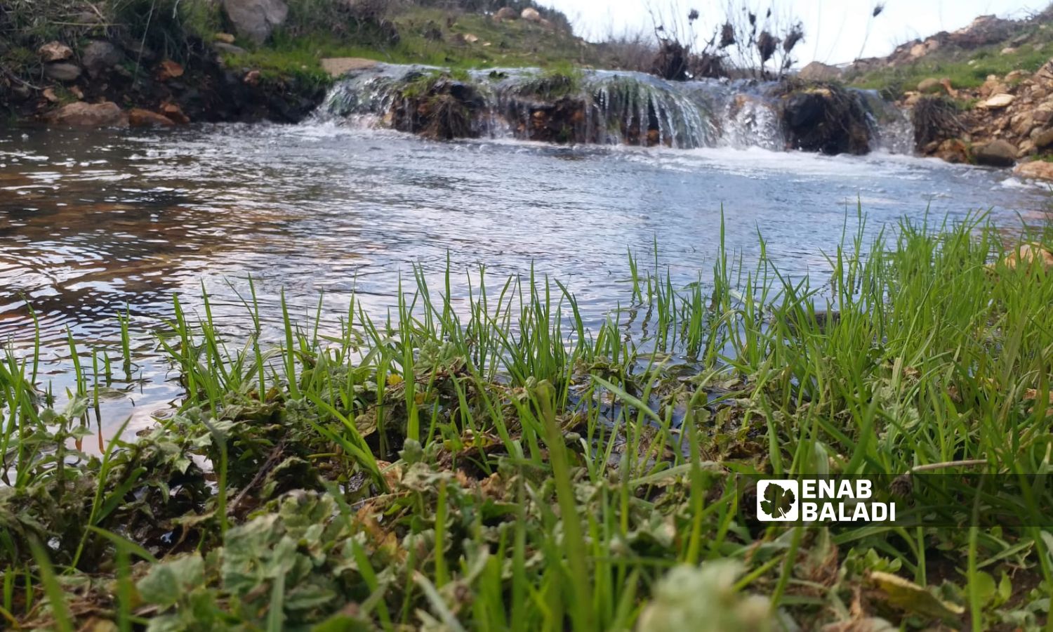
The al-Shahar River is a stream of water coming from Mount Hermon, emerging from a spring of water that has now ended up behind the earthen barrier.
The river, also known as Wadi al-Shahar, is considered one of the most abundant rivers in winter, according to farmers interviewed by Enab Baladi from the local area. The river’s course feeds into several points and surface wells, connecting with many tributaries leading to the flow of al-Ruqad River.
Ali al-Ahmad, a farmer from the town of al-Hurriya in the Quneitra countryside, owns a farm on the west of the town where he originates and resides, which is planted with fruit trees over an area of ten dunams.
Al-Ahmad told Enab Baladi that he dug a hole to collect rainwater in the winter, placing it on one of the water channels that come from the occupied lands of Israel. However, Israeli activities have severed the water flow that he considered a vital resource, and he is now searching for an alternative for irrigation.
Al-Ahmad expects that the earthen barrier will hinder and reduce the water flow towards his land, consequently causing his trees to suffer from a lack of nourishment.
The danger posed by the Israeli earthen barrier may threaten water security across Quneitra, according to Hassan, an employee in the Dams Department at the Quneitra Water Directorate.
Hassan, who requested not to be fully named for security concerns, told Enab Baladi that the al-Ruqad river course is one of the main sources of water for the dams in Quneitra, as the river originates from the occupied Golan Heights. It is considered a tributary of the Yarmouk River, starting from the gathering of several small water channels near the villages of Jubata al-Khashab and Trinjeh, flowing southward, fed from the west by the city of Quneitra, and continues southward passing by the villages of Kodna, Ghadir al-Bustan, al-Muallaqa, and al-Bakar, feeding dams such as al-Mantarah Ruwaihina, Kodna, and Barfaqa.
For his part, Ali Mahmoud, a resident of Jubata al-Khashab in the northern Quneitra countryside, stated that he sees daily excavators and bulldozers working inside Syrian territory, near the springs and rivers, threatening to block them from the local residents.
Sami, an engineer working in the Quneitra Water Resources Directorate, withheld his full name for security reasons, mentioned to Enab Baladi that the directorate is currently working on cleaning the water channels leading to the dams, restoring their drainage systems, and ensuring their readiness with the approaching rainy season.
He added that those in charge of the regional dams in the Water Resources Directorate are concerned about the insufficient water reaching the dams due to the confinement of water within the occupied territories and behind the earthen barrier and trench built by Israel, which will trap the water inside. They await the relevant authorities to expedite finding solutions before the problem worsens.
if you think the article contain wrong information or you have additional details Send Correction